
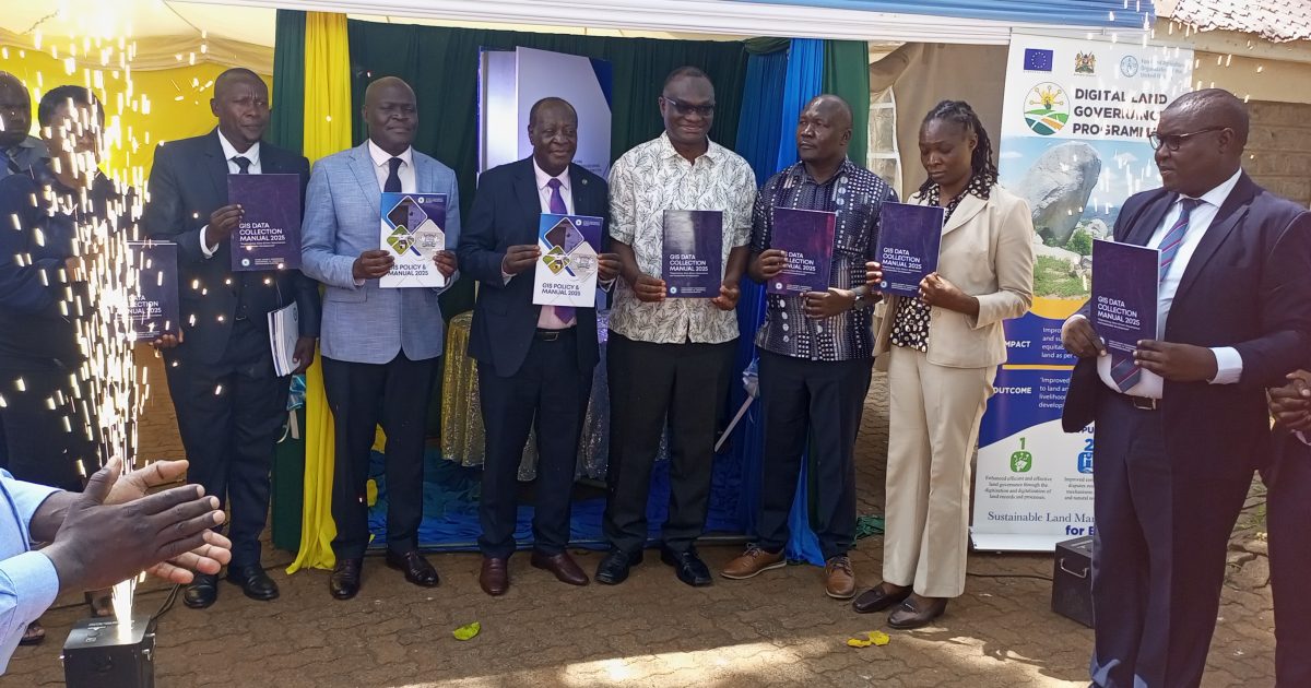
Vihiga County has undertaken a significant step towards improving its data management and service delivery by launching a Geographical Information Systems (GIS) data collection manual.
The governor Dr. Wilber Otichillo said the GIS was a key tool in modernizing operations and streamlining services expressing optimism that the new system was a game changer.
“We are going digital, and I am sure doing so will bring all county services into one system that will make it easier to handle,” he added.
The GIS coordinator, Dr. Betty Mulianga, provided a demonstration on how GIS data is handled, highlighting its potential to enhance efficiency and effectiveness in managing county affairs.
The President of the Surveyors of Kenya, Mr. Eric Nyadimo, commended the County for embracing GIS, emphasizing its potential to address land-related issues such as double allocation.
“This is a significant development for Vihiga. As a surveyor, I am truly grateful and happy as it will simplify our work. I look forward to other counties following suit,” said Nyadimo.
The Deputy Director of the Food and Agricultural Organization (FAO), Mr. William Hamisi, lauded Vihiga County’s digital initiative, noting its potential to benefit the agricultural sector. “This will map out the agricultural sector and help the government in programs like fertilizer subsidies, ultimately leading to increased farm produce,” Hamisi explained.
The launch was attended by Deputy Governor Wilberforce Kitiezo, Director of GIS Mr. Washington Olando, several County Chief Executive Committee Members (CECMs), and other dignitaries, signaling strong support for the county’s move towards embracing GIS for improved data management and service delivery.
by Sylvester Muhadi


