
The Food and Agriculture Organization (FAO)and the European Union have partnered with local stakeholders to undertake a land mapping exercise in Turkana County to facilitate the processing of land documentation to the communities.
The multi-national agencies in collaboration with the Department of Lands, Physical Planning and Urban Areas Management, have embarked on the mapping exercise to document public land and fast-track the issuance of title deeds.
According to the officials from the National Land Commission (NLC), the State Department of Lands and Physical Planning the exercise will cover parts of in Loima, Lokiriama and Lokichoggio Sub Counties whose land tenure is largely under trust.
Turkana Chief Executive Committee Member (CECM) for Lands Faith Aletea, however, said the demarcation for subsequent titling will specifically target the townships of Lorugum, Namoruputh and Lokiriama.
She stressed that the exercise was a critical step in safeguarding public land from encroachment and possible grabbing by private developers who were likely to take advantage of the weak and vague land ownership system currently under the trust land arrangement.
“Through this exercise, we are not just documenting these parcels, we are ensuring that they remain protected in line with the County’s land governance system,” she said.
According to the Chief Officer for Lands, Leah Losiru, the exercise would make it possible for the county to offer better services when it comes to allocating land for public utilities such as schools, health facilities and administrative centres.
Mark Ewesit, the National Land Commission (NLC) in Turkana, added that the exercise would help reduce conflict arising from land ownership disputes.
“Once the process is complete and titles issued, many of the conflicts we see today will be reduced,” he said.
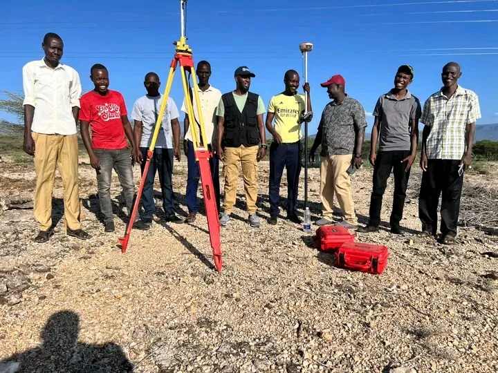
During the mapping exercise, the teams held meetings with the respective Deputy County Commissioners.
Others also present during the exercise included senior Survey and Physical Planning officers, among them Director of Survey Egiron Joseph, as well as officers from National Land Commission and the County Government.
By Peter Gitonga


