
Kenya has renewed discussions with Australia to expand the application of satellite technology including food security, environmental conservation and disaster preparedness, an initiative aimed at enhancing national resilience and sustainable development.
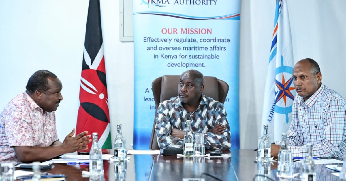
The consultative meeting, held at the Directorate of Resource Surveys and Remote Sensing (DRSRS) Headquarters in Nairobi, brought together senior officials from both nations.
The Kenyan delegation was led by DRSRS Director, Dr Moses Akali, while the Australian side was represented by Deputy High Commissioner Chris Ellinger.
Dr. Akali welcomed the renewed engagement, describing Australia as a longstanding and valued partner in strengthening Kenya’s geospatial capabilities.
He referenced the earlier System for Land-based Emissions Estimation in Kenya (SLEEK) Project, which significantly advanced the country’s capacity for land use mapping and greenhouse gas reporting.
“This partnership comes at a pivotal moment,” Dr Akali remarked.
“As Kenya intensifies its efforts to leverage science, technology, and innovation in pursuit of the Kenya Kwanza’s Bottom-up Economic Transformation Agenda (BETA), particularly in agriculture and climate resilience, satellite technology will play a vital role in generating accurate, actionable data to guide farmers, safeguard ecosystems, and enable rapid disaster response,” he added.
During the session, Vincent Imala, Head of the Remote Sensing Division, showcased DRSRS’s cutting-edge systems including real-time data analytics tools, digitisation platforms and geospatial applications currently supporting land cover mapping and food security monitoring across the country.
On his part, Ellinger reaffirmed Australia’s commitment to supporting Kenya’s development priorities.
“Australia views Kenya as a strategic partner in harnessing science and technology to address shared global challenges such as climate change, food insecurity, and sustainable resource management,” he stated.
The Deputy High Commissioner further emphasised that the collaboration would enable Kenya to tap into global innovations, including the Digital Earth Africa initiative, to enhance evidence-based decision-making and resilience.
The two parties concluded the meeting with a mutual agreement to establish a joint technical team tasked with identifying priority projects and formulating a comprehensive roadmap for future cooperation under the Digital Earth Africa framework.
Recently, DRSRS also rolled out a coffee geo-mapping exercise to help farmers and agencies comply with emerging international market requirements, underscoring its expanding role in applying geospatial tools for national development.
By Jacqueline Adyang (PCO)


