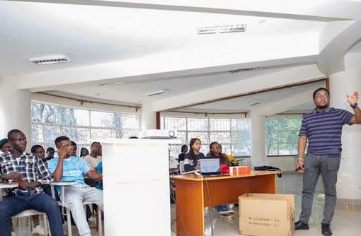
Vihiga County Government is exploring a strategic collaboration with the International Institute of Tropical Agriculture (IITA) under the Consultative Group on International Agriculture Research (CGIAR) system to leverage geospatial technology for smarter planning.
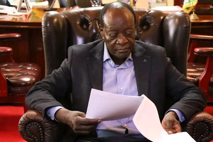
Vihiga County Governor, Dr. Wilber Khasilwa Ottichilo, today received a courtesy call from Dr. Francis Kamau Muthoni and Aurilla Majella Ndiwa from the International Institute of Tropical Agriculture (IITA), under the CGIAR system.
The discussions focused on potential strategic collaboration between the County Government of Vihiga and IITA through CGIAR in the areas of Geospatial Information Systems (GIS), Earth Observation, agriculture, and landscape intelligence.
The proposed collaboration seeks to develop practical tools that can support better planning, targeted investments, and measurable development outcomes across the county.
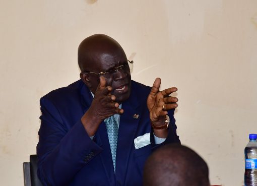
Governor Ottichilo welcomed the proposed collaboration, noting that the initiative presents an opportunity to strengthen Vihiga County’s capacity to use geospatial evidence to inform agricultural practices, landscape planning, and broader development interventions.
“This initiative presents an opportunity to strengthen Vihiga County’s capacity to use geospatial evidence to inform agricultural practices, landscape planning, and broader development interventions,” Governor Ottichilo said.
The governor further assured the team that the county government is prepared to provide technical coordination through its GIS function and work with the agriculture and environment teams to identify priority pilot projects, share appropriate data, and explore opportunities for resource mobilization to support the initiative.
The engagement marks a step towards strengthening evidence-based decision-making and promoting more targeted investments in agriculture, environmental management, and landscape development across Vihiga County.
By Florence Oteng’o