The County Government of Trans Nzoia has embarked on the use of the Geographic Information System (GIS) to enhance service delivery and resource management.
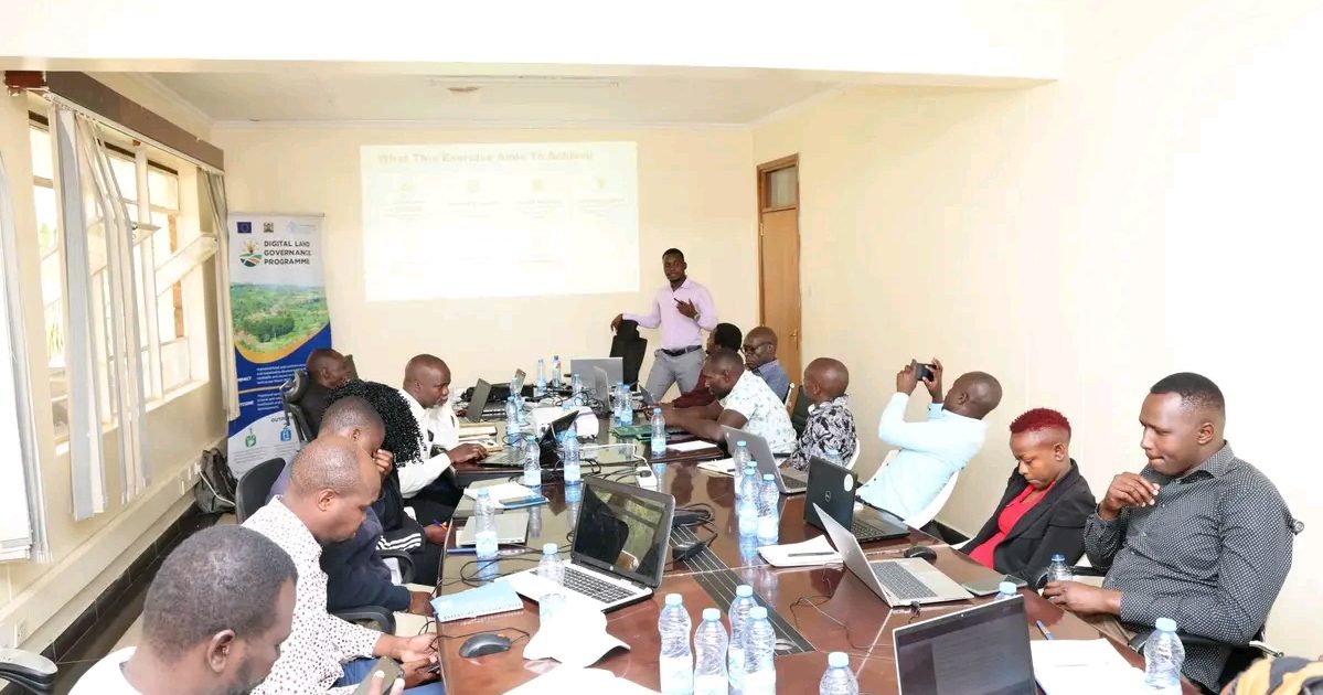
This comes as technical staff underwent sensitization on the use of GIS in a three-day training organized by the county government, funded by the European Union under the Digital Land Governance Programme and supported by the Food and Agriculture Organization (FAO).
FAO Regional Representative Ms. Linda Achieng, who was present during the opening of the training, said the exercise is central to improving land governance.
“This programme aims to enhance efficiency through digitalization of land records and processes. GIS will help counties integrate data across departments and improve planning,” she said.
Citing pioneers of the programme in Kenya such as Vihiga County, Achieng said GIS is a timely intervention in strengthening service delivery and resource management.
“The immediate next steps focus on continuing hands-on training and unpacking the system,” she added.
Trans Nzoia County Director for Physical Planning and FAO Programme Coordinator, Ms. Beatrice Wangila, said GIS mapping is vital in today’s changing world.
“It will help us plan better by knowing where needs are greatest, serve fairly by reaching underserved communities, and decide wisely based on spatial evidence,” she explained.
She said the long-term vision is for counties to transact, plan, and manage resources using GIS platforms over the next five to ten years, in line with Vision 2030.
FAO facilitators, Mr. Kevin Ochieng and Mr. Anthony Ndubi, highlighted the practical benefits of GIS, saying it supports health facility placement, road maintenance, water access, and revenue collection.
Ndubi emphasized the need to build capacity, promote data sharing and strengthen collaboration across departments.
“We want to develop recommendations, produce practical steps, and assess GIS capacity by reviewing existing skills and infrastructure,” Mr. Ochieng added.
Veronica Wanyora, a representative from the Council of Governors and one of the facilitators’, said GIS is crucial for planning across sectors.
“In health, it identifies disease hotspots and where new facilities should be built. In roads, it shows which routes need maintenance. In water, it highlights villages without clean water,” she explained.
By Isaiah Nayika and Winnie Jelagat