
Residents of Kajiado North are now settled following a survey conducted by the Department of Survey to determine coordinates of the area.
The coordinates are meant to help draw specific locations within the external boundaries
The exercise was conducted in Ngong Hills, Kimuka, Kerarapon, Rongai, and Kisamis. the county of Kajiado has now seen boundaries now very clear, unlike before, when the structures were very unclear.
Dennis Sonkole, officer in charge Ngong, Kajiado North survey told KNA that they are collecting data on coordinates that define the said area which for a long time has been lacking coordinates and hence making it difficult to accurately define boundaries in the area.
He explained that to accurately map out features in Kajiado, the coordinates play a big role, which reduces confusion by giving precise information about land and structure in the area.
He acknowledged that Kajiado North has been facing persistent land disputes due to unclear boundaries and destroyed survey markers.
To resolve this, the department of survey is conducting a mapping exercise in areas like Ngong Hills and Kimuka to establish accurate coordinates to clearly define land boundaries and reduce future conflicts.
“By doing this, shifts in position of certain structures will be avoided and hence disputes will reduce significantly while through the coordinates points that represent parcels of land, it will be easier now when determining boundaries,” he noted
The exercise is being done through proper dereferencing—assigning real coordinates to spatial data such as images and maps so that they align correctly with geographical locations on the surface.
Kajiado County is one of the regions where a lot of land disputes are witnessed, and by conducting the survey exercise, the conflicts are likely to reduce because each individual will be more informed about their boundaries with the help of their surveyors.
According to Gitau Njoroge, government cartographer, there have been issues with survey controls in Ngong, Kajiado North.
“We have not been having enough controls. We had some before, but they were destroyed during construction of the roads, and so we could not check our survey work, especially the fixed survey. Today’s event is to extend the controls within Ngong area and part of Kajiado West.” Njoroge added
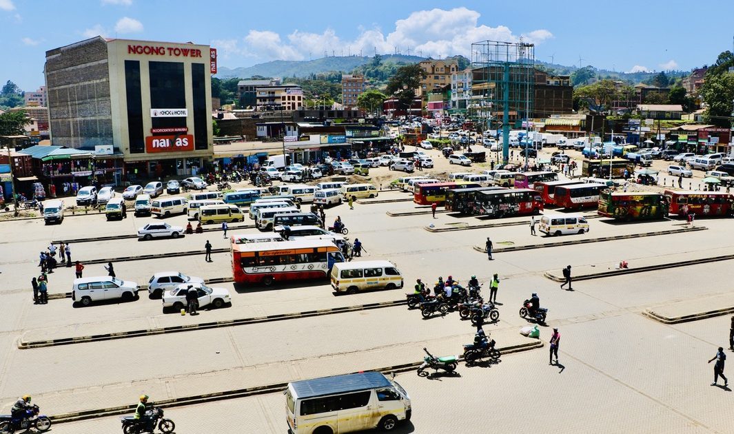
Ngong Sub County has a Ngong Municipality Development Plan 2024-2029 and is also running a 10-year roadmap on how Ngong’ Municipality is geared to develop.
This is the first comprehensive spatial plan for Ngong’ Municipality and was prepared at a time when the county is grappling with the challenges of tackling rapid urbanization in the three towns of Ngong’, Ongata Rongai, and Kiserian, which constitute Ngong’ Municipality.
By Edwin Gathii


