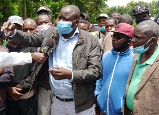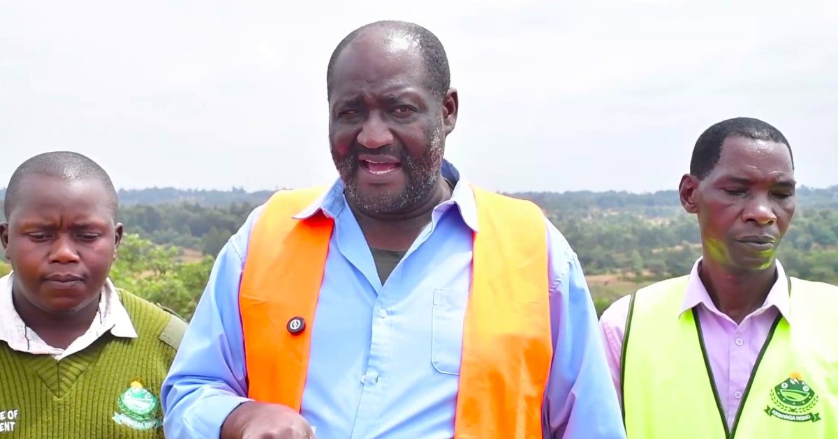
The Kirinyaga County Government has begun verifying ownership of plots in the disputed South Ngariama Settlement Scheme in Mwea East Sub-County, warning residents against presenting forged documents during the exercise aimed at identifying legitimate landowners.
The verification exercise covers about 17,000 acres and seeks to establish the rightful owners of plots allocated by the former county council between 2007 and 2009, as well as those acquired through occupation or purchase.
Speaking during the exercise, County Executive Committee Member (CECM) for Lands and Physical Planning Rev. Samuel Kanjobe said the county has systems to detect forged ownership documents and warned that offenders would face prosecution.
“We are able to identify fake documents presented by various people, and we will deal with them accordingly. We will also involve the county legal office in the process,” said Kanjobe.
He said every claimant will be required to swear an affidavit and record a statement before submitting ownership documents.
“If you present documents that are not genuine, you will have lied under oath. That amounts to perjury, and we will prosecute you in a court of law. We want to ensure that only the bona fide owners and beneficiaries are recognized,” he said.
Kanjobe said the county government is also preparing physical development plans to guide future growth in the settlement scheme and address years of unregulated development.
He noted that most buildings in the area had been constructed without proper planning, making it necessary to establish development guidelines to promote orderly growth.
The proposed plans include setting aside public dumping sites, improving waste management systems and introducing modern recycling initiatives to enhance environmental management.
Kanjobe said the physical verification exercise, which began on Tuesday, had progressed smoothly and was now entering its final phase.
“After completing the field exercise, we will analyse and process the data before returning for the next phase of implementation,” he said.
He explained that during the earlier adjudication process, residents identified and occupied parcels they claimed before their interests were recorded for freehold ownership, while land meant for public use was also identified and reserved.
The public land includes sites earmarked for schools, health facilities, police posts, chiefs’ offices, markets, bus parks, stadiums, playgrounds, wetlands and institutions of higher learning, among other public amenities.
Kanjobe disclosed that about 785 land disputes were recorded during the adjudication process and are currently being handled by the National Government through the Land Adjudication Office in Kiritiri.
He clarified that while the National Government is responsible for adjudicating freehold land disputes, the county government has the constitutional mandate to manage, plan and protect public land.
The ongoing exercise, he said, also involves establishing general boundaries, recording ownership details and documenting disputes to facilitate their resolution.
Despite the high number of disputes, Kanjobe expressed confidence that the verification process would help establish legitimate ownership and support proper planning and development of the South Ngariama Settlement Scheme.
By Mutai Kipng’etich