
The Ministry of Lands, Public Works, Housing, and Urban Development, in conjunction with the Council of Governors, is working on a legislative framework that seeks to update land use and urban development regulations.
The Laws (Miscellaneous Amendment Planning) Bill 2026 is currently being subjected to stakeholder engagement across counties before it becomes law.
It seeks to overhaul key land management frameworks to better facilitate structural urban expansion, aligning local development policies with the national housing agenda.
The Bill also seeks to introduce strict, standardized guidelines defining boundaries and regulations surrounding riparian reserves, which directly affects environmental protection and community safety near rivers and wetlands.
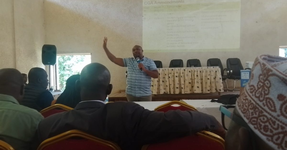
During a public forum held at Magharibi Hall in Kakamega town and attended by both National and County officers and other stakeholders, Senior Physical Planner, in the State Department of Lands and Physical Planning, Arthur Mbatia, said that the proposed changes and new multi-tier institutional structures that will be allocated planning powers.
The Bill proposes to establish the County Director of Physical and Land Use Planning as responsible for markets, trading centers and neighborhoods with City Boards, Municipal Boards, and Town Committees planning given development-control powers in their respective areas, if enacted into law.
Mbatia said the Director of City Planning, would be responsible for planning and development control all over the city planning county, including at the borough level, whereas City, Municipal, and Town Planners would be required to be registered under the Physical Planners Registration Act (Cap. 536).
During the forum, some participants said that by making the Director of City Planning subject to political control through the chain of command under the County Governor, a situation that opens the door for political interference in the technical decision-making process.
The Survey (Amendment) Regulations, 2025, were also discussed during the forum. The regulations modify the distances used in certain circumstances for surveys under Regulation 110(1) from 60 to 200 meters and under Regulation 112 from 30 to 100 meters, and extend the range of application of Regulation 111 away from tidal waters. New rules for surveying boundaries near swamps have also been added.
Peter Juma, a representative of the Kenya National Chamber of Commerce and Industry (KNCCI), Kakamega chapter, asked the government to professionalize members of the planning boards to ensure they have a representation of professionals.
“Government must incorporate an element of professionalism into the boards with a minimum diploma in relevant fields like planning, development, and governance, among others,” said Juma.
The County Director of National Environment Management Authority (NEMA) Nathaniel Mutuku, called for stronger environmental oversight in county planning processes, saying there was urgent need to prioritize biodiversity climate resilience conservation in urban and town planning.
“There is a need to uphold Environmental Impact Assessment (EIA) requirements and demarcate separation of powers between county and national government agencies,” he added.
By Godfrey Wang’anya

