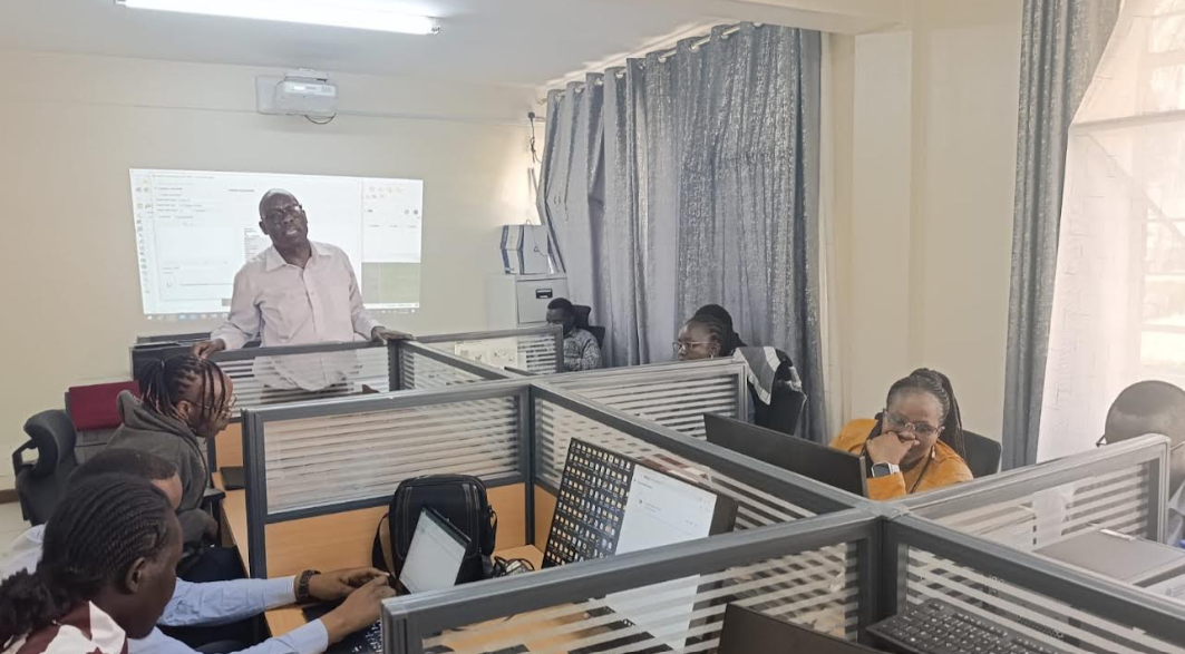
The County Government of Uasin Gishu has trained selected officers from various departments on Geographic Information Systems (GIS) to enhance data-driven planning, decision-making and service delivery.
The programme, facilitated by the Food and Agriculture Organization of the United Nations (FAO) and the Council of Governors (CoG) under the European Union-FAO-funded Digital Land Governance Programme (DLGP), brought together officers from the physical planning, ICT, health, agriculture, roads, water, environment and communication departments.
The officers, designated as GIS Sector Champions, are expected to promote the adoption and use of geospatial technologies within their respective departments and ensure that knowledge acquired during the training is translated into practical applications.
Speaking during the three-day training, held at Ardhi House, Eldoret, County Executive Committee Member (CECM) for Lands, Physical Planning, Housing and Urban Development, Edward Sawe, said the training would strengthen the county’s capacity to use technology and reliable data in planning and implementation of development programmes.
“GIS provides us with accurate and timely information that enables the county to make better decisions, plan more effectively and allocate resources where they are most needed,” said Sawe.
He said geospatial data would become increasingly important as Uasin Gishu continues to experience rapid growth, particularly in guiding sustainable development.
Sawe further emphasised the need for departments to share information and work together to maximise the benefits of GIS.
“We want to move away from working in isolated departmental systems. By strengthening GIS capacity among officers from different departments, we are creating a common platform for sharing information and supporting coordinated development,” he said.
Director of Physical Planning and the training focal person, Charles Kimani, said the initiative would enhance the county’s ability to integrate spatial information into development planning.
“Modern planning cannot be separated from accurate spatial information. GIS enables us to understand what is happening on the ground, identify development trends and make evidence-based decisions,” said Kimani.
He said the GIS Sector Champions would play a key role in promoting the routine use of geospatial information to analyse challenges, plan interventions and monitor development projects.
“The objective is not simply to train officers on GIS software. We want to build a culture where departments routinely use geospatial information to analyse challenges, plan interventions and monitor development projects,” added Kimani.
The integration of GIS is expected to support infrastructure planning, land-use management, environmental conservation, agricultural planning, public health interventions, road development and monitoring of county projects.
By Fredrick Maritim