
Kenya is in the final stages of developing its first-ever Marine Spatial Plan (MSP), a landmark framework expected to guide the sustainable use of ocean resources and unlock the vast potential of the Blue Economy, one of the country’s most promising yet underutilized economic frontiers.
The 20-year strategic framework, already approved by the Cabinet, is designed to guide the sustainable and integrated use of Kenya’s 250,000 square kilometres of ocean space while balancing economic growth, environmental conservation, and social equity.
The initiative is being implemented by the State Department for Blue Economy and Fisheries with support from the Government of Kenya and the World Bank through the Kenya Marine Fisheries and Socio-Economic Development (KEMFSED) Project.
The plan covers inshore waters in Kwale, Mombasa, Kilifi, Lamu and Tana River counties, territorial waters, and the Exclusive Economic Zone (EEZ), areas that are increasingly facing pressure from overexploitation and competing user interests.
In recent years, Marine Spatial Planning has gained global recognition as an effective framework for coordinated management and decision-making in marine areas. Once completed, Kenya will become the second African country, after South Africa, to implement an MSP.
Kenya’s Vision 2030 also identifies the MSP as a key strategy for expanding the food economy, while the Fourth Medium-Term Plan (MTP IV) recognizes the Blue Economy as a major driver of national growth.
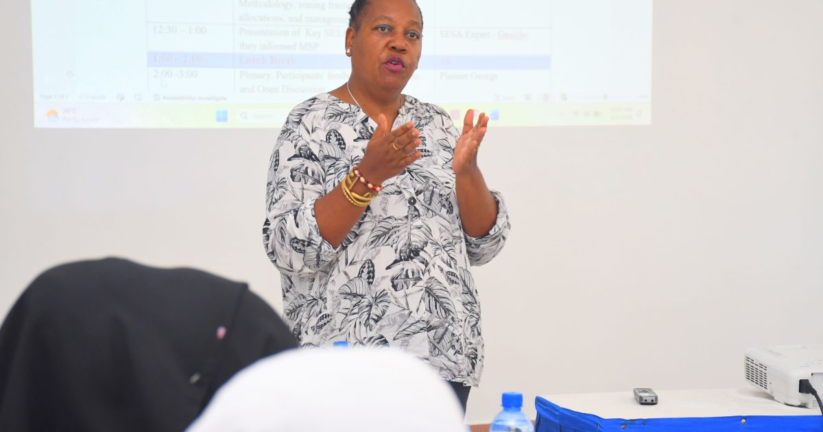
Dr Jacqueline Uku, the National Coordinator for Marine Spatial Planning, said the MSP aims to safeguard the environment while promoting the sustainable utilization of blue economy resources through strategic planning.
“The Plan is a strategy that provides us with ideas for resource use, spaces that we need to preserve, spaces that we can use for development,” stated Dr Uku during the validation exercise in Mombasa.
“At the end of the day, what we expect to receive as an MSP is something that is validated both environmentally through NEMA and validated through planning organizations like the National Land Commission, which provides oversight on the process and also the planning department that has guided various elements of this process,” she added.
Dr Uku explained that the ocean is multidimensional and contains vast resources that remain largely untapped. She thanked experts, community members, Beach Management Units, boat operators, private sector stakeholders and government agencies for their contributions during the validation exercise, noting that their input would enrich the final plan.
“It is very easy to plan on land because you can see where the forest starts and ends. It is very easy to see where the water bodies start and end, where fields start and end, where farmlands are, and where settlements are. The ocean also has its settlements for the ocean community, but they cannot be seen,” stated Dr Uku.
“It is the experts who have been showing us what exists. This is a plan that relies heavily on the science of the ocean to actually reveal what lies under the blue water that we so admire when we come to the coast.”
Tom Mboya, manager of Telkom’s undersea fibre-optic cable network that provides high-speed internet connectivity in Kenya and the East African region, expressed satisfaction with the draft MSP.
However, he said there is a need to incorporate and clearly demarcate landing points and corridors for submarine cables in the final plan, noting that existing landing areas are limited. Kenya currently has nine submarine fibre-optic cables, but the number could increase to 20 over the next two decades.
“We need areas on the beach where they can be able to allow a corridor for the cables to come in from the sea. We normally call it a landing point or a landfall. We need to have some within the region which do not interfere with the navigational paths, also,” stated Mboya.
He also called for Beach Management Units (BMU), to be sensitized on the importance of submarine cables to minimize conflicts with cable operators and support the expansion of connectivity along the entire East African coastline.
“The other problem is usually the blockade by some of the private owners of property next to the beach. They usually block certain paths, which could be very important for cables to land. We also don’t want only one convergent point for the cables to land,” said Mboya.
Mombasa County Executive Committee Member for Blue Economy, Co-operatives, Agriculture and Livestock, Ibrahim Khamis, said the county is keenly following the MSP process, particularly on the issue of maritime boundaries.
“We want our area to extend to the ocean, not to lose out on the annual equitable share of funds by the National Government,” he said.
Rabia Hawa, Director and Founder of Ulinzi Africa Foundation, made extensive submissions on the intersections between biodiversity, land and water use, and mammal migratory routes.
She noted the presence of aquatic species that often go unnoticed, citing the hippopotamus, which is listed by the International Union for Conservation of Nature (IUCN) as a vulnerable species.
“It is a species of critical importance globally, and we feel like that kind of recognition needs to be made in the process of the MSP,” said Hawa.
by Sadik Hassan

